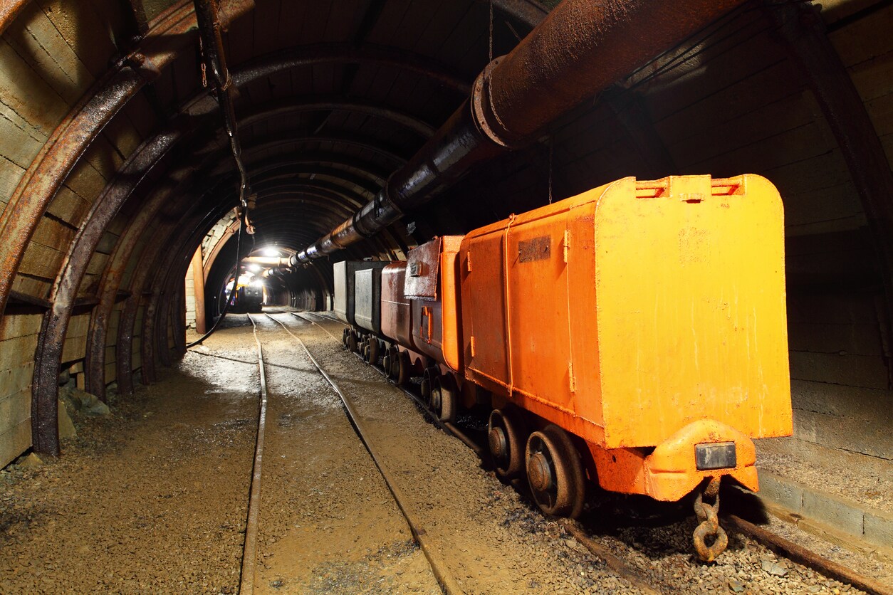
 Finding productive mine sites begins with surveying potential locations to ensure the area has enough resources to make further exploration worthwhile. Once a site has been identified, mining geologists may use portable X-ray fluorescence (XRF) analyzers to perform ore grade control to figure out where the most profitable ore bodies are in terms of location and mineral concentration variability.
Ore deposits are inconsistent in nature, having high concentrations of metals in one area but much lower concentrations in others. Portable XRF analyzers provide fast acquisition of geochemical data for ore deposit modeling, determining ore boundaries, and quickly identifying increasingly low-grade deposits. The data collected during the grade control processes helps determine metal concentrations and identify areas for drilling or more detailed investigation. This data can be used to help create geochemical maps to see an anomaly or trend, make the most efficient and economical drilling and excavation decisions, and ensure that a mining plan will yield a sufficient return on investment.
An underground mine plan includes mapping out a network of transportation tunnels. Mining surveys can also be used to provide information about mine and tunnel dimensions, which helps determine the feasibility of using the large trucks and equipment needed throughout the mine. Now a unique approach to efficient planning of underground mine tunnels has been developed by the software company MineOptima, founded by researchers at the University of Melbourne. The research team, headed by Professor Doreen Thomas and Professor Hyam Rubinstein, applied the principle of network optimization to the design and planning of the complicated, underground tunnel networks used by large haulage trucks that bring ore to the surface. An article on the University of Melbourne web site explains their process:
Professor Thomas says that there are complex rules that underground tunnels need to satisfy, such as precise constraints on the gradients of the incline and the decline.
“The gradient constraint is significant because the huge haulage trucks can only drive up a very shallow gradient. Networks need to slope very gently from the ore bodies to the surface. The other constraint is that the large trucks can only turn along wide corners in a tunnel.”
The software takes these restrictions into consideration – plotting the shortest network of paths between the mine’s entrance and the various points around the underground orebody.
The MineOptima software uses detailed geological information obtained from exploratory drilling that maps out the locations of ore bodies and other underground features such as faults and weak ground. The software then uses algorithms developed by the University of Melbourne Network Research Group to explore a range of possibilities for safe and optimal access tunnels, plotting their possible location and the shortest network of paths between the mine’s entrance and the various points around the underground orebody.
Recently, international mining software and consulting firm RPM Global, acquired MineOptima.
Read the full article, Using maths to map mines deep underground.


Leave a Reply